Material analysis of manuscript maps

The Manuscript Map of the Dagua River Region, 1764
During COVID, I found myself with extra time to study a large, brilliantly rendered polychrome manuscript map from 1764, comprised of 8 folios adhered together. This map depicts (and was created in) a frontier region in the Spanish empire (the Pacific Lowlands). In hopes of identifying the map’s pigments, ink, and paper, I reached out to the Library of Congress. In 2022, through collaboration with research scientists in the Preservation Research and Testing Division, we were able to answer key questions about the map’s materiality.
This research was facilitated by Fenella France of the Preservation Research and Testing Division and Paulette Hasier of the Geography and Map Division
I had initially wondered if this map relied on locally sourced organic colorants like plants, seeds, barks, and dye woods. What we found surprised me.
Our materials analysis showed that the map’s pigments were mineral. The blue was azurite (found in conjunction with copper deposits).
The green was verdigris, or copper resinate (copper is widespread in Colombia). The red was vermilion, or cinnabar (found in association with mercury deposits).
All of these minerals—azurite, verdigris, and vermilion—are mined from within Colombia, and some from within the Pacific Lowlands itself.
What we have in a map like this one is a historic document that is about local mining but is also made from locally mined pigments.
*For a summary of this study, see Appendix B “Technical study of the Manuscript Map of the Dagua River Region, Colombia” in The History of a Periphery. Spanish Colonial Cartography from Colombia’s Pacific Lowlands, University of Texas Press, pp. 114-116, 2024.


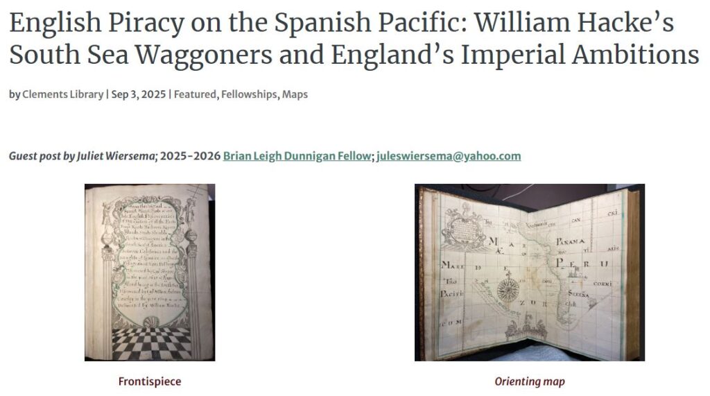
William Hacke's a description of all the ports ... in the south sea of america, c. 1698
In July 2025, I spent a week at the Clements Library, University of Michigan, in Ann Arbor to study the Hacke atlas in their collection. With conservator Julie Fremuth and curator Sierra Laddusaw, we undertook XRF analysis of the atlases’ pigments. With a CeeLight, I was able to study and capture the atlas’ watermarks. Some of the observations made during this time are discussed in a blog for the Clements Library.